
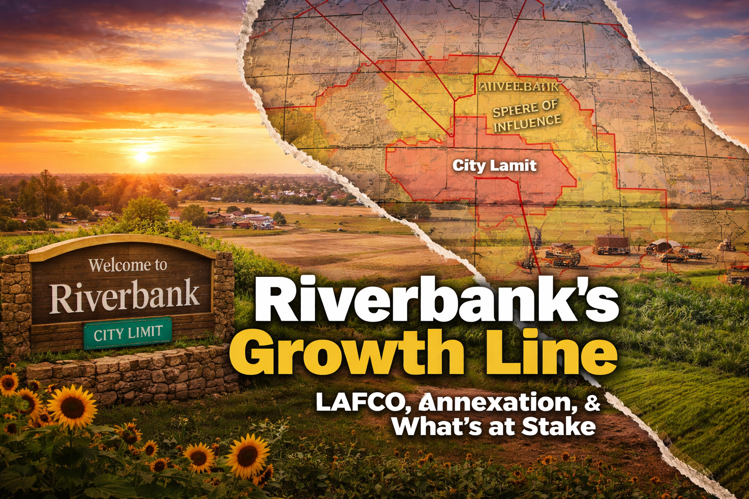
LAFCO 101 for Riverbank: Spheres of Influence, Annexations, and Why the Process Matters
For most people, “LAFCO” sounds like one of those government acronyms designed to make eyes glaze over. But in Riverbank, LAFCO is not background noise. It is one of the agencies that helps decide where the city can grow, how far urban services can extend, and whether farmland at the edge of town stays rural or moves toward city development. When a project like River Walk enters the conversation, understanding LAFCO is not optional. It is essential.
LAFCO stands for the Local Agency Formation Commission. In California, these commissions exist to oversee boundary changes between cities, counties, and special districts. They are supposed to promote orderly growth, efficient service delivery, and the protection of agricultural and open-space land from premature conversion. In plain English, LAFCO is the gatekeeper for where the city line can move and whether that move makes sense.
The first concept to understand is the sphere of influence, often shortened to SOI. A sphere of influence is not the same thing as city limits. It is a planning boundary outside the legal city boundary that marks the area where a city may reasonably be expected to expand and provide services in the future. Under California law, LAFCO must evaluate present and planned land uses, service needs, service capacity, agricultural and open-space lands, and relevant communities of interest when it adopts or updates a sphere. Stanislaus LAFCO describes the sphere as territory eligible for annexation and urban service extension over roughly a 0-to-20-year period, with a “Primary Area of Influence” reflecting a shorter 0-to-10-year horizon.

That distinction matters in Riverbank. According to Stanislaus LAFCO’s current map, Riverbank’s city limits cover about 3,067 acres, while the city’s sphere of influence covers about 4,850 acres, including the city itself. In other words, there is already land outside the city limits but inside the city’s LAFCO-defined future growth area. LAFCO records also show Riverbank’s current sphere was adopted on July 27, 2016, after a major expansion tied to the city’s General Plan update.
So what is annexation? Annexation is the legal step that actually brings unincorporated land into the city. Being inside a sphere does not automatically make land part of Riverbank. It simply puts that land on the map as a potential future city area. Annexation is the separate action that changes the jurisdictional boundary. Riverbank’s own annexation materials describe the process as a three-step review: first by the City of Riverbank, second by LAFCO, and third by final City Council action to declare the property annexed, send it to election if required, or abandon the process.
That city step is more important than many residents realize. Before an annexation goes to LAFCO, the city typically handles the local land-use pieces: hearings on pre-zoning, general plan or specific plan consistency, environmental review, and related development entitlements. State law also requires that territory proposed for annexation to a city be prezoned or otherwise shown to be consistent with the city’s general plan, and LAFCO’s decision on city annexations is based on the city’s general plan and prezoning. Put simply, zoning and boundary expansion are not separate stories. They are chapters in the same book.
LAFCO’s review is supposed to ask the hard questions after the city has framed the proposal. Under state law, a proposal must include a plan for services describing what services will be provided, the level and range of those services, when they can feasibly be extended, what improvements will be required, and how those services will be financed. LAFCO also has to weigh factors such as service adequacy, effects on adjacent areas, consistency with local plans, impacts on agricultural land, water availability, boundary logic, public agency comments, and the receiving agency’s ability to fund and deliver services after the boundary change.
This is exactly why the process matters for Riverbank’s west side. The City’s River Walk materials make clear that the proposal is not a small infill project. The official project description states that River Walk requires a general plan amendment, specific plan adoption, pre-zoning, an SOI amendment, a municipal services review amendment, and annexation. The notice of availability for the Draft EIR says the project would require an SOI expansion of about 1,522 acres, with a specific plan area of about 997 acres inside that larger expansion area. A July 9, 2025 joint City Council–Planning Commission workshop described the site as being in unincorporated Stanislaus County, north of Patterson Road/State Route 108, east of McHenry Avenue, and roughly two miles northwest of downtown Riverbank.
That scale should change how residents think about the debate. This is not only about architecture, traffic, or a single subdivision map. It is about whether Riverbank should extend its future growth boundary farther west, whether the city can truly serve that area over time, what happens to farmland and open land in the process, and who carries the long-term burden once the initial excitement fades and the maintenance bills arrive. California law specifically requires LAFCO to consider the effect of a proposal on the physical and economic integrity of agricultural lands, as well as the adequacy and future cost of services.
There is another reason residents should pay close attention: timing. State law allows LAFCO to waive protest proceedings in certain annexation cases, including some uninhabited territory proposals where the landowners consent and required opposition is not filed. That does not mean every project will avoid public process, but it does mean the earlier hearings and written comments matter. Residents cannot assume there will always be a later, louder, more decisive round. Sometimes the record is built in the quieter stages, and that record is what follows the proposal forward.

And this is not theoretical. Stanislaus LAFCO meeting records from 2024 and 2025 show River Walk concerns being raised repeatedly during public comment, including concerns related to sustainable growth and farmland protection. The public already understands, even if only instinctively, that boundary decisions shape the city’s future long before a welcome sign is moved.
Here is the bottom line: specific plans decide what a project may look like, but spheres of influence and annexations decide whether the city should move outward at all. That is why LAFCO matters. It sits at the point where planning language becomes geography, and where geography becomes obligation. For Riverbank residents, the question is bigger than whether a project sounds attractive on paper. The real question is whether expanding the city’s footprint is orderly, sustainable, financially sound, and worthy of the land it would permanently change.
If Stop the River Walk wants to win the civic argument, this is the frame to hold onto: LAFCO is not a technical sideshow. It is where Riverbank’s future edge is negotiated. And once that edge moves, it rarely moves back.